
Exploring the portal: the Network
The network map is the main interface of the SmartAgriHubs Innovation Portal. This is the page you get redirected to when you log in to your user account. You can find out more about what functions the network map has to offer in the text below.
The basics
When you log in, or when you click the ''Network'' button in the top menu of the portal, you see the map and icons of all the registered organisations. You can zoom in by using the + and - buttons in the top left part of the map, or by using the scroll wheel on your mouse. Moving to different parts of the map is done by clicking and dragging the map.
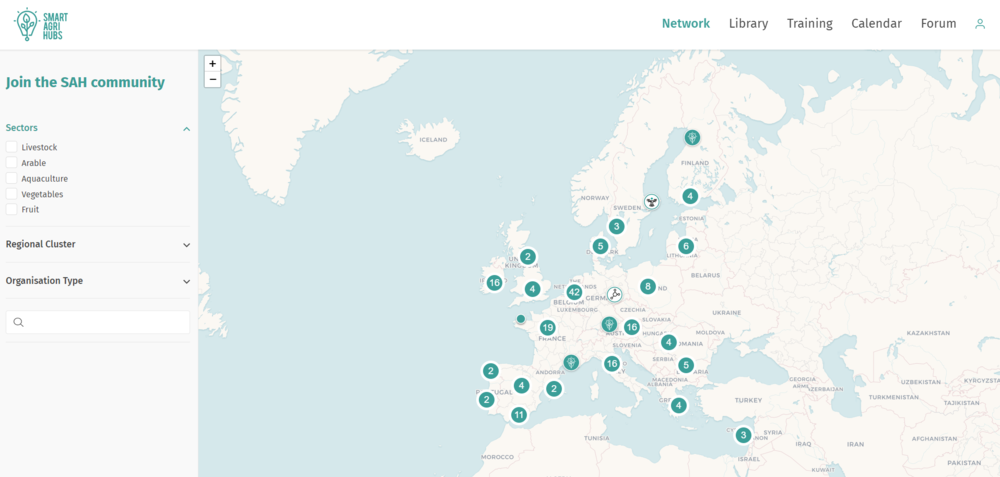
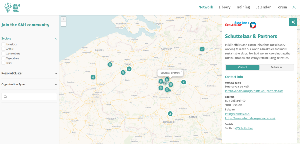
By clicking on an icon you obtain more information about the organisation it represents. You will have access to a short description of who they are and what they do, as well as their contact details (see example below). If the organisation you have selected is a partner in a SmartAgriHubs entity you can find out about their role in SmartAgriHubs by clicking the ''Partner in'' button.
Search menu
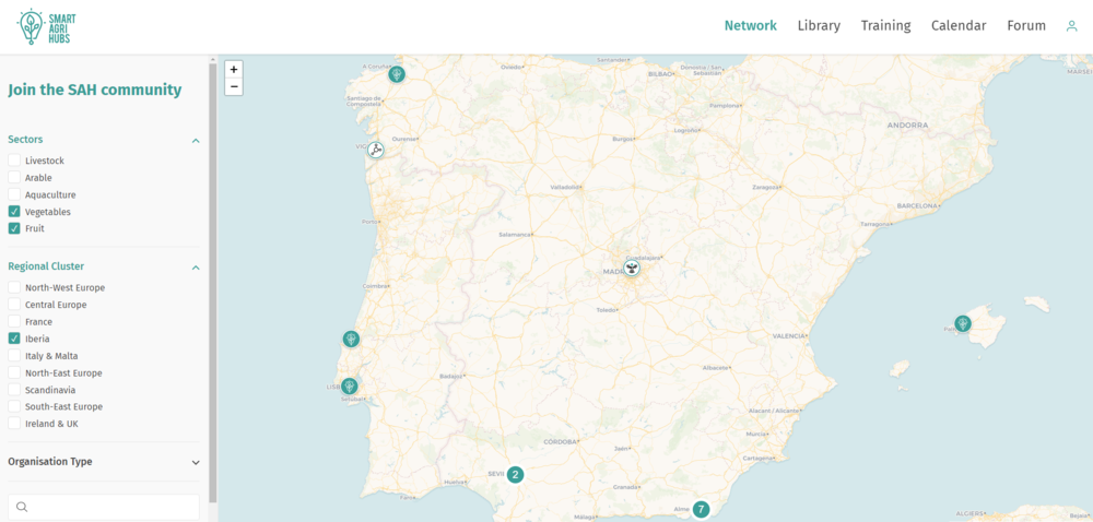
To the left of the map you will find the search menu. You can use this menu to filter your search results per sector (livestock, arable, aquaculture, vegetables and fruit), per regional cluster (a total of nine), and per type of organisation (FIE, DIH, CC, RC, financial service provider etc.). It is possible to combine multiple filters. For example, in the image below you see the search results for registered organisations in the Vegetables or Fruit sectors in Iberia:
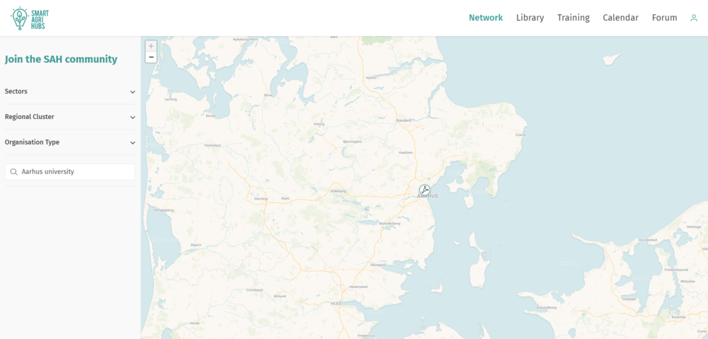
Next to the preset filters you also have the option to directly look for a specific organisation. For this you simply click on the search bar (magnifying glass) at the bottom of the search menu and fill in the name of the organisation you want to find. For example, if you want to find Aarhus university:
Now that you have mastered the Network map you can start exploring more sections of the Innovation Portal, such as the library, the training section and the forum.
Further reading
-
getting started: connecting to an existing organisation profile
-
getting started: organisation profile moderation (for main users)